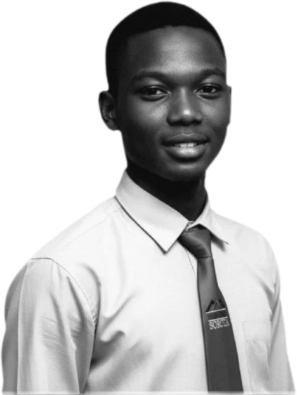
Bourahma Ouattara Djakalia — Land Surveyor & GIS Developer
Land surveyor and GIS developer at EYE AFRICA (Côte d’Ivoire), studying geomatics engineering. I design web GIS platforms, land management tools and 2D/3D scenes that link field measurement to decision-making.
Projects
- WebSIG SOGEDI — Industrial zones. Web GIS platform for managing industrial zones: multi-criteria search, parcel lookup, spatial analysis, map export and dashboards.
- WebSIG Tindara — Land management. Land management system for the local authority of Tindara: lot mapping, allocations, owners, disputes and administrative documents.
- WebSIG du Port Autonome d’Abidjan (PAA) — Port decision-support GIS. Decision-support GIS for the port estate: land and building assets, land use, infrastructure, planning and spatial change.
- API Géo-Carbone — Oumé — Forest carbon. Forest carbon monitoring in six classified forests of the Oumé department: land cover and carbon stocks from 1986 to 2023.
- EYE-Foncier — Land transactions. Secure land transaction platform in Côte d’Ivoire to search for, verify and acquire land with confidence.
- EYE-Administrator — Mission management. Web, desktop and mobile app for managing surveying missions: teams, field tracking, budgets, documents, reports and dashboards.
- TOPORAHMA — Professional software. Software for surveyors and urban planners: point clouds, 3D visualisation, automatic 2D/3D subdivision generation and realistic renders.
- Assistant IA géographique — AI & decision. Intelligent assistant to query, analyse and use geographic data in natural language for decision support.
- OCPV GeoVivrier — Food market information system. Territorial platform for the OCPV covering food-crop markets: market mapping and nationwide price tracking.
- TraçaBois — SODEFOR — Timber traceability. GIS tool tracking each log from forest parcel to market and automatically detecting irregularities for SODEFOR.
Skills
- Surveying: total station, differential GPS, level, theodolite
- GIS and spatial databases: QGIS, PostgreSQL/PostGIS, SQL, GDAL/OGR
- Web GIS and development: Django, Python, JavaScript, PySide6, C++
- 2D/3D visualisation: point clouds, PyVista/VTK, Three.js, AutoCAD/Covadis
- Land and planning: subdivisions, land registers
- Spatial analysis and AI: raster, time series, LLM assistants
Experience and education
- Oct. 2025 – present · EYE AFRICA · Surveying technician and GIS developer
- Jan. – Sept. 2025 · General Immobilier (GICO) · Surveying technician intern
- Oct. 2024 – Jan. 2025 · EL ELYON COM · Surveying technician intern
- 2024 · CEM-BTP, Bonoua · Higher technician diploma in civil engineering (surveying)
Contact
bourahmaouattara@gmail.com · Download the CV (PDF) · Version française
The interactive version (3D scene, calculation tools) requires JavaScript.